
The Lewis and Clark Expedition, led by Meriwether Lewis and William Clark, was a historic journey to explore the western territories of the United States. Sacagawea, a Shoshone woman, served as a vital guide, interpreter, and cultural ambassador, facilitating their passage and interactions with Native American tribes. Her contributions were instrumental in the expedition’s success.

Historical Context and Motivations
The Lewis and Clark Expedition was driven by President Thomas Jefferson’s vision to expand U.S. territory and explore the western lands acquired through the Louisiana Purchase in 1803; Jefferson sought a water route to the Pacific Ocean, aiming to establish trade and scientific discovery. The expedition also aimed to assert U.S. sovereignty over Native American territories and strengthen relations with indigenous peoples. This pivotal journey marked the beginning of westward expansion, shaping the nation’s future. The motivations were deeply rooted in nationalism, economic ambition, and the pursuit of knowledge.
Key Figures: Lewis, Clark, and Sacagawea
Meriwether Lewis, appointed by President Thomas Jefferson, led the expedition alongside co-leader William Clark. Both were experienced frontiersmen and military officers, with Lewis handling scientific tasks and Clark managing navigation. Sacagawea, a Shoshone woman, played a pivotal role as interpreter and guide, facilitating interactions with Native American tribes. Her knowledge of local terrain and languages proved invaluable. Together, these three figures formed the core of the Corps of Discovery, driving the expedition’s success and shaping its legacy as a historic adventure of exploration and cultural exchange.

The Expedition’s Journey
The Lewis and Clark Expedition, led by Meriwether Lewis and William Clark, was a two-year journey from the Missouri River to the Pacific Ocean, exploring vast western territories acquired by the United States.
Route and Maps
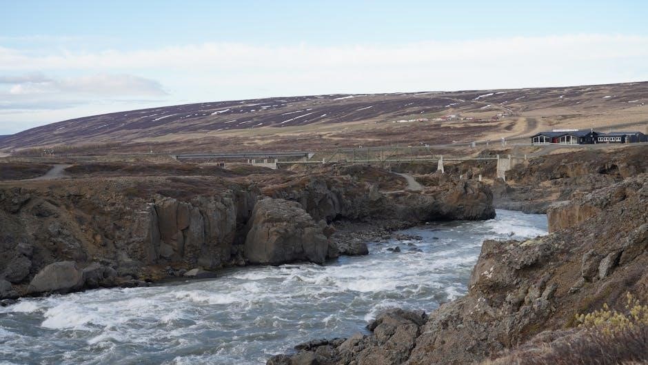
The Lewis and Clark Expedition followed the Missouri River westward, mapping the newly acquired Louisiana Territory. They traversed diverse landscapes, crossing the Continental Divide and navigating the Columbia River to reach the Pacific Ocean.
Detailed maps and journals documented their 7,000-mile journey, highlighting key landmarks, Native American encounters, and natural wonders. These records remain vital historical resources, guiding modern interpretations of their epic exploration.
Daily Life and Challenges
The Corps of Discovery endured grueling conditions, navigating rivers, portaging around waterfalls, and facing harsh weather. Sacagawea played a crucial role in securing food and negotiating with Native tribes. The crew often went hungry, relying on berries and game. Their journals reveal constant fatigue and irritability, especially during the return journey. Despite these hardships, their resilience and Sacagawea’s guidance enabled them to overcome obstacles and document their historic journey.
Key Milestones
Key milestones of the Lewis and Clark Expedition include departing St. Louis in 1804, crossing the Continental Divide, and reaching the Pacific Ocean in November 1805. Sacagawea’s guidance was pivotal, especially in navigating the Rocky Mountains and aiding interactions with Native tribes. The expedition successfully mapped the western territories, collected scientific data, and established trade relations. Their journey marked a significant chapter in U.S. history, shaping westward expansion and cultural exchange. The return journey in 1806 solidified their legacy as trailblazers.

The Role of Native American Guides
Native American guides, including Sacagawea and Old Toby, played a crucial role in the Lewis and Clark Expedition, aiding navigation and cultural interactions with indigenous tribes.
Sacagawea’s Contribution
Sacagawea, a Shoshone woman, played a pivotal role in the Lewis and Clark Expedition as a guide, interpreter, and cultural ambassador. Her knowledge of the region helped navigate the Rocky Mountains and cross the Bitterroot Range. Sacagawea facilitated interactions with Native American tribes, easing tensions and securing vital supplies. Her presence also symbolized peace, aiding the expedition’s safety and success. Despite her contributions being localized to areas she knew, her impact was profound, enabling the Corps of Discovery to achieve their historic journey to the Pacific Ocean.
Other Guides
Beyond Sacagawea, the Lewis and Clark Expedition relied on various Native American guides to navigate uncharted territories. Shoshone guide Old Toby led them across the treacherous Bitterroot Range. George Drouillard, a skilled hunter and interpreter, also contributed significantly. Additional tribes provided temporary guides, offering local expertise and assistance. Their collective efforts were essential in overcoming geographical challenges and facilitating cultural exchanges, ensuring the expedition’s progress and survival in the vast wilderness. These guides were indispensable to the success of the Corps of Discovery’s historic journey.
Legacy and Impact
The Lewis and Clark Expedition established a historic trail, fostering cultural ties and territorial expansion. It preserved indigenous relationships and shaped the United States’ western development.
Territorial Expansion
The Lewis and Clark Expedition played a pivotal role in expanding U.S. territory. Their journey, following the Louisiana Purchase, mapped vast regions, aiding future settlers. By documenting geography, resources, and Native American tribes, they provided critical information for westward expansion. The expedition’s findings justified further territorial claims, shaping U.S. policy and fostering growth. However, it also led to Native American displacement and altered regional dynamics. The legacy of their exploration remains a cornerstone of American history, marking both discovery and its profound consequences.
Cultural Significance
The Lewis and Clark Expedition holds profound cultural significance, symbolizing American exploration and westward expansion. Sacagawea’s role as a guide and ambassador bridged cultural divides, fostering interactions between explorers and Native American tribes. Their journey documented diverse cultures, languages, and landscapes, enriching U.S. history. The expedition inspired future generations, shaping American identity and curiosity about the West. It remains a testament to resilience, collaboration, and the complex legacy of exploration, influencing art, literature, and education. Sacagawea’s story, in particular, embodies the shared history of indigenous and settler communities.

Modern-Day Resources
Organizational, educational, and governmental websites offer maps, timelines, and guides for exploring the Lewis and Clark Expedition. National Geographic provides detailed trail maps and historical insights.
National Historic Trail
The Lewis and Clark National Historic Trail spans over 3,700 miles, tracing the expedition’s route from Illinois to the Pacific Ocean. It includes auto tour routes, historic sites, and interpretive centers. Visitors can explore the Missouri River, Continental Divide, and Columbia River Gorge, immersing themselves in the expedition’s history. Interactive exhibits, ranger programs, and living history demonstrations bring the journey to life. The trail connects modern communities with the expedition’s legacy, offering a pathway to discover the natural beauty and cultural significance of the Corps of Discovery’s adventure.
Educational Materials
Educational materials on the Lewis and Clark Expedition include detailed maps, timelines, and journal entries from the explorers. These resources provide insights into their daily challenges, key milestones, and interactions with Native American tribes. Multimedia tools, such as documentaries and interactive websites, enhance learning. Lesson plans for schools integrate history, geography, and cultural studies, offering a comprehensive understanding of the expedition’s significance. These materials are available through governmental and educational websites, making them accessible for both students and enthusiasts to explore the Corps of Discovery’s remarkable journey.
Planning Your Adventure
Plan your journey with maps, journals, and guides detailing Lewis and Clark’s route. Use historical resources to navigate the trail and experience the expedition’s legacy firsthand.
State-by-State Guide
The Lewis and Clark National Historic Trail spans 3,700 miles across 11 states, offering a detailed guide for modern adventurers. Starting in Illinois, the route follows the Missouri River through Missouri, Kansas, Nebraska, and Iowa. In North Dakota and South Dakota, it passes through the rugged terrain of the Great Plains. Montana and Idaho feature the challenging Bitterroot Range, while Oregon and Washington lead to the Columbia River and the Pacific Ocean. This state-by-state guide provides maps, landmarks, and historical sites, allowing visitors to retrace the expedition’s journey and connect with its legacy.
Tips for the Trail
Planning your adventure along the Lewis and Clark Trail? Start by mapping your route using historical guides and modern GPS. Visit museums and historic sites to gain insights into the expedition’s challenges. Pack essentials like sturdy footwear, water, and weather-appropriate gear. Consider hiking or kayaking segments for an immersive experience. Respect natural environments and cultural sites to preserve their legacy. Engage with local communities and historical reenactments to deepen your connection to the journey. Lastly, stay informed about trail conditions and regulations to ensure a safe and memorable experience.

The Lewis and Clark Expedition marked a pivotal moment in U.S. history, shaping territorial expansion and cultural understanding. Sacagawea’s role as a guide was crucial, bridging linguistic and cultural gaps. The expedition’s legacy endures through the National Historic Trail, educational resources, and modern-day explorers retracing their path. Their journey symbolizes resilience and collaboration, inspiring future generations to explore and appreciate the nation’s diverse heritage. The expedition’s impact remains profound, reflecting the spirit of discovery and unity that defined their quest.
Further Reading
For deeper insights into the Lewis and Clark Expedition, explore National Geographic’s Guide to the Lewis and Clark Trail, which offers detailed maps and timelines. The Journals of the Lewis and Clark Expedition provide firsthand accounts of their journey. Additionally, numerous educational websites and historical societies offer comprehensive resources, including archival documents and expert analyses. These materials enrich understanding of Sacagawea’s role and the expedition’s broader significance in American history.